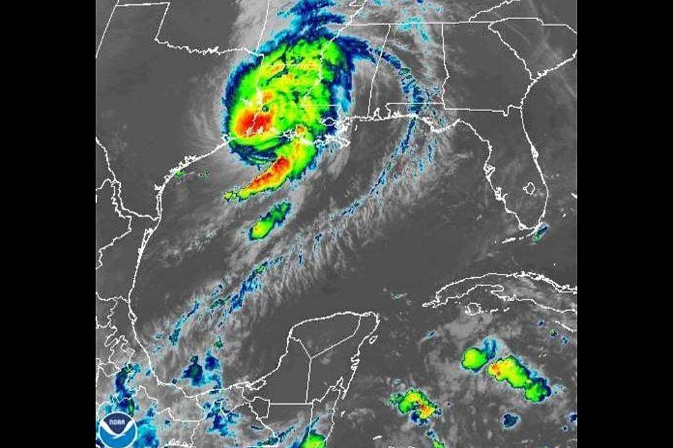
Hurricane Laura Moves Towards the Texas Coast
Hurricane Laura will be a major hurricane that will impact the Texas coast with strong winds and heavy rains by Wednesday evening and early Thursday morning. The National Hurricane Center and the National Weather Service expect increased swells and swell periods that may produce minor coastal inundation early Wednesday through the day on Thursday. Rip current risks will remain exceptionally high for all Gulf-facing beaches.
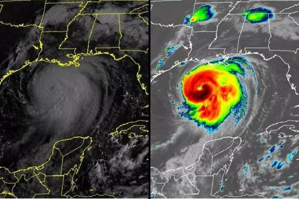
Hurricane Laura is moving West/Northwest through the Gulf of Mexico at 16 mph with maximum sustained winds at 75 mph as of 10a this morning. The storm will continue to strengthen before making landfall mid-week. Laura is expected to be a major dangerous Hurricane at the time of landfall. A Coastal Flood Advisory has been issued from early Wednesday through Thursday evening and may possibly be extended or adjusted
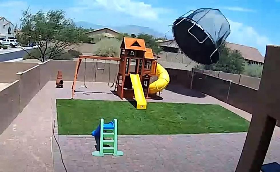
The biggest threat that Laura will present to us in the Crossroads area will be strong winds. Victoria remains outside the code as well as outside the current model for heavy and excessive rainfall. Winds, however, will be another story. As Laura makes landfall it will be possible to see winds from 40 to 60 mph from the coast all the way up to Waco, Texas. So make sure you gather up any lawn furniture and other items that are not tied down so they don't end up blowing to Travis County.
Get the latest Weather Alerts sent directly to your phone via our FREE station app. Simply enter your phone number into the box below for a free download of our app. Remember to allow notifications so you can see the information as soon as we send it your way. Be safe and stay tuned for more updates.

CHECK THIS OUT: This Texas Home Boasts Its Own Beach And Zipline
More From KIXS FM 108